过江隧道自动驾驶清扫应用案例
项目目标
在GNSS无法发挥作用的过江隧道运行自动驾驶清扫车
所在地区
中国·江苏省南京市
作业场景
过江隧道
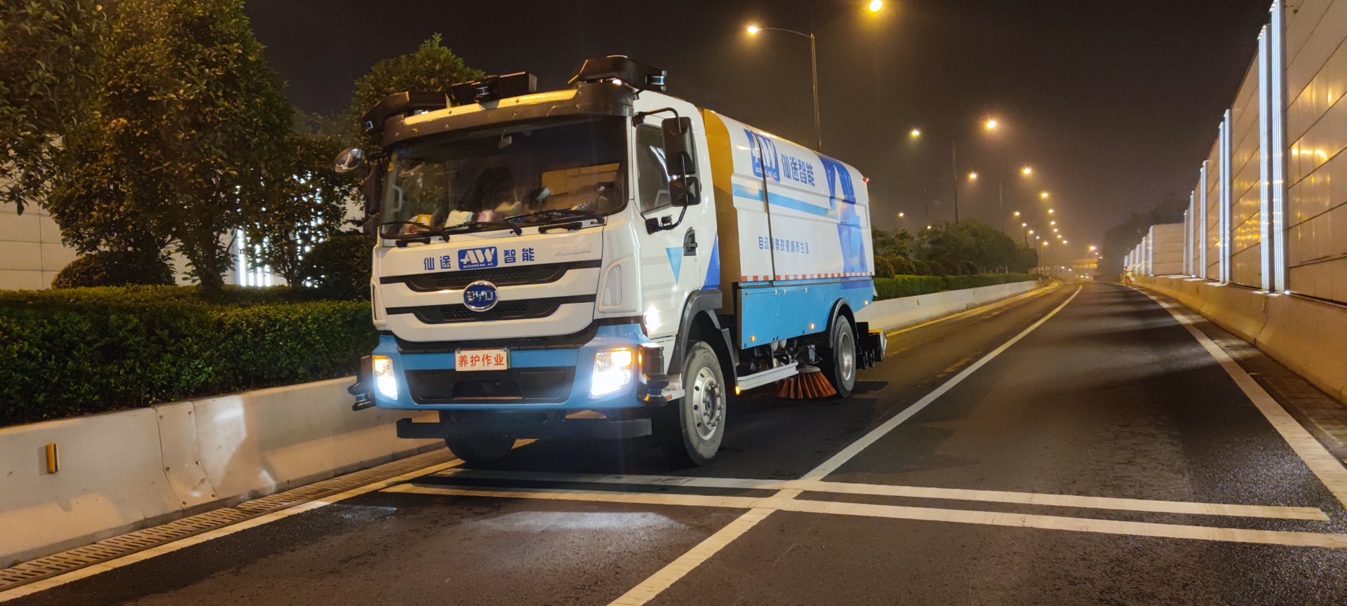
作业车辆
Autowise V12 和 Autowise V16


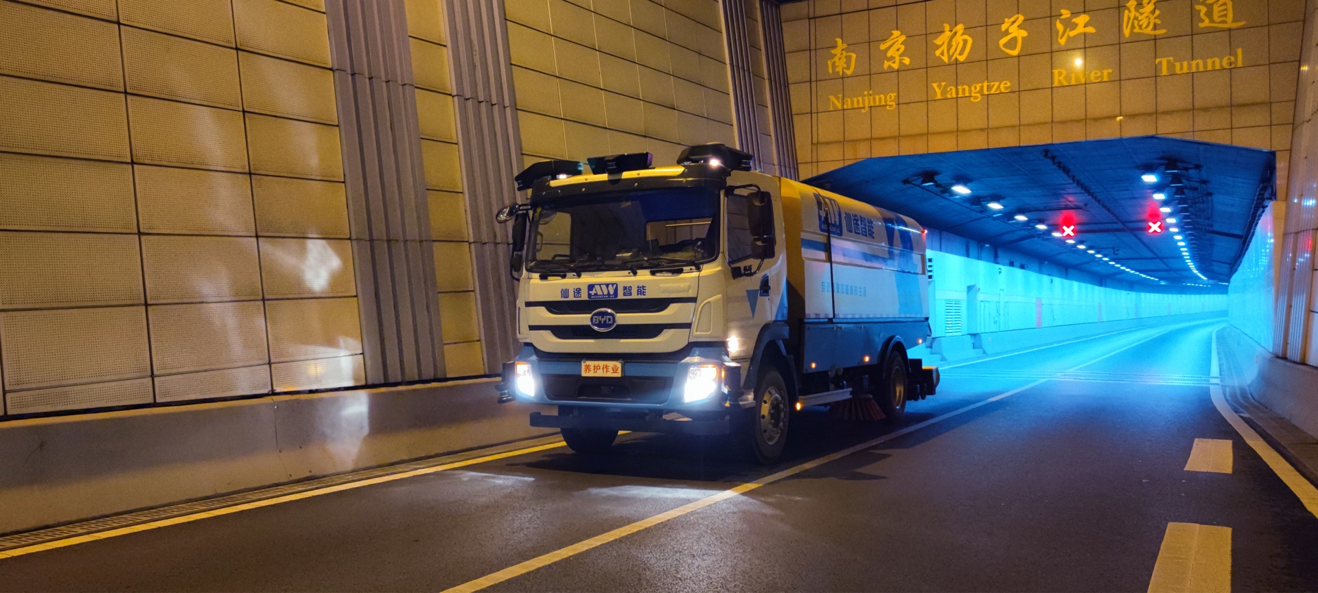
南京长江隧道全长约5853米,为双连拱隧道,是南京市民重要的过江通路。对于自动驾驶行业,在露天场景进行数据采集的技术已经相对成熟。而在地下或其他非露天区域,网络信号较弱,激光雷达向计算系统传输数据时会出现时间延迟。且在封闭区域,GNSS无法发挥作用。
2021年3月28日,仙途智能在南京长江过江隧道成功部署了两台自动驾驶清扫车。针对网络信号差和GNSS信号缺失的问题,仙途智能的工程师们使用全新算法,使得激光雷达能够发射频率与各种网络信号兼容的激光,同时采用局部定位加关键场景全局定位的融合框架,以较低的成本获得了可靠的定位。
截至2021年8月,项目已安全作业超过5,000公里,单辆自动驾驶清扫车清扫过江隧道全幅路面约4小时,清洁效率相当于两台传统人工清扫车同时通宵作业。


FOLLOW US